


Randonnée pédestre
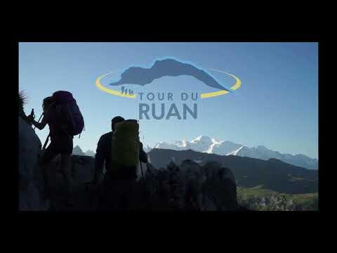
Tour du Ruan
Finhaut
Straddling Switzerland and France, the Tour du Ruan connects numerous wilderness sites with breathtaking panoramas on a 61 kilometre route.
This walking tour is best done in 4 days, including 3 nights in mountain huts.
You will discover the following regions: Emosson, Emaney valley, Salanfe, Susanfe, La Vogealle, Sixt-Fer à Cheval, Grenier de Commune and Grenairon.
The geology, fauna and flora that you will find on the tour are extremely rich.
The tour can be done in both directions. The map below shows the tour as follows: Emosson, Salanfe, Vogealle, Grenairon, Emosson. Variations are possible along the route.
In the opposite direction, the stages continue as follows: Emosson, Grenairon, Vogealle, Salanfe, Emosson.
This walking tour requires a good physical condition and is intended for experienced hikers. Depending on the snow melt, the tour is usually accessible from mid-July to the end of september.
Bivouac
It is possible to bivouac near the refuges and to eat there if the capacity allows it. Please contact the wardens beforehand.
- In Switzerland: wild bivouac is authorized from sunset to sunrise, outside the mountain pastures, above the edge of the forests.
- In France: wild bivouac is authorized from 7 p.m. to 9 a.m., except at the bottom of the valley leading to the Bout du Monde.
(Re)experience the Tour du Ruan with Benoît Richer from the blog "Des yeux plus grands que le monde" (Eyes bigger than the world)
Technical information
-
Distance 61 km
-
Positive elevation 5'491 m
-
Negative elevation 5'491 m
-
Highest point 2'831 m
Location / Access
GPS coordinates :
46.067970199509986, 6.935515621444211
Environment :
Mountain
-
Distance 15.65 km
-
Positive elevation 1462 m
-
Negative elevation 1495 m
-
Highest point 2461 m
-
Duration 7h00m


-
Distance 13.87 km
-
Positive elevation 1168 m
-
Negative elevation 1205 m
-
Highest point 2467 m
-
Duration 5h25m

-
Distance 15.8 km
-
Positive elevation 1345 m
-
Negative elevation 1317 m
-
Highest point 2536 m
-
Duration 6h30m


-
Distance 2 km
-
Positive elevation 780 m
-
Negative elevation 780 m
-
Highest point 3254 m
-
Duration 2h00m
-
Distance 33.28 km
-
Positive elevation 3267 m
-
Negative elevation 3457 m
-
Highest point 2535 m
-
Duration 14h40m


-
Distance 15.75 km
-
Positive elevation 1483 m
-
Negative elevation 1433 m
-
Highest point 1952 m
-
Duration 6h45m


-
Distance 15.91 km
-
Positive elevation 1238 m
-
Negative elevation 1250 m
-
Highest point 2831 m
-
Duration 6h16m

-
Distance 3 km
-
Positive elevation 647 m
-
Negative elevation 647 m
-
Highest point 3096 m
-
Duration hm
-
Distance 8.28 km
-
Positive elevation 457 m
-
Negative elevation 894 m
-
Highest point 2640 m
-
Duration 3h10m

Contact

Vallée du Trient Tourisme SA
Social media
Related articles

